I don't know about you, but when I'm traveling, I like to make the most of my time and get the most bang for my buck by finding the best road trip route for the time I have available. That means, when visiting the US and its incredible national parks, if there's a way to fit more than one park into a single trip, I'm all for it.
I've successfully managed this on several occasions, combining visits to places like Crater Lake National Park with Yosemite National Park, or exploring Zion National Park with Grand Canyon National Park. They are some of the best road trips I've done and a great way to spend a vacation.
With this approach in mind, traveling from Las Vegas to Yosemite National Park offers three fantastic opportunities to see multiple national parks and places of outstanding natural beauty on a single road trip. This not only takes you through some of the most breathtaking landscapes in the country but also allows you to experience the diversity of the American wilderness.
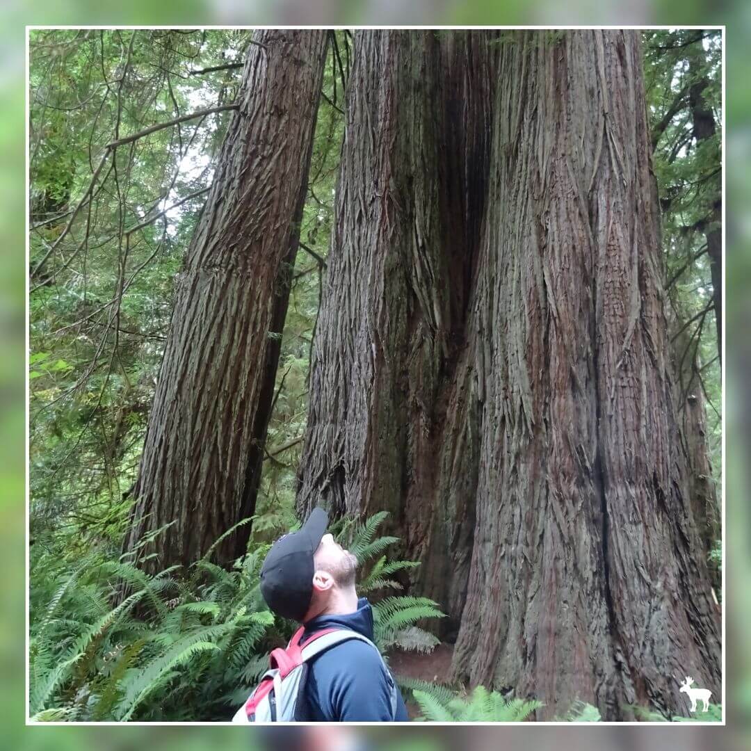
Whether it's the towering sequoias of Sequoia National Park, the deep canyons of Kings Canyon, or the stark beauty of Death Valley, this road trip from Las Vegas to Yosemite is an adventure of a lifetime, packed with awe-inspiring sights and experiences.
Las Vegas To Yosemite National Park Road Trip at a Glance
The Death Valley Route
Driving through Death Valley National Park is an unforgettable journey, showcasing some of the most unique and starkly beautiful landscapes in the United States. There are several routes from Las Vegas to Death Valley National Park, each varying in distance and travel time.
Can you see the highlights of Death Valley in a single day?
Yes, you can explore the highlights of Death Valley in a single day. A good option is to plan an early start to catch the sunrise at Zabriskie Point, visit key attractions like Badwater Basin, Artist’s Drive, Dante’s View, and the Mesquite Flat Sand Dunes. While a day allows for a glimpse into Death Valley's vast beauty, longer visits offer deeper explorations of its remote areas.
The Kings Canyon & Sequoia National Parks Route
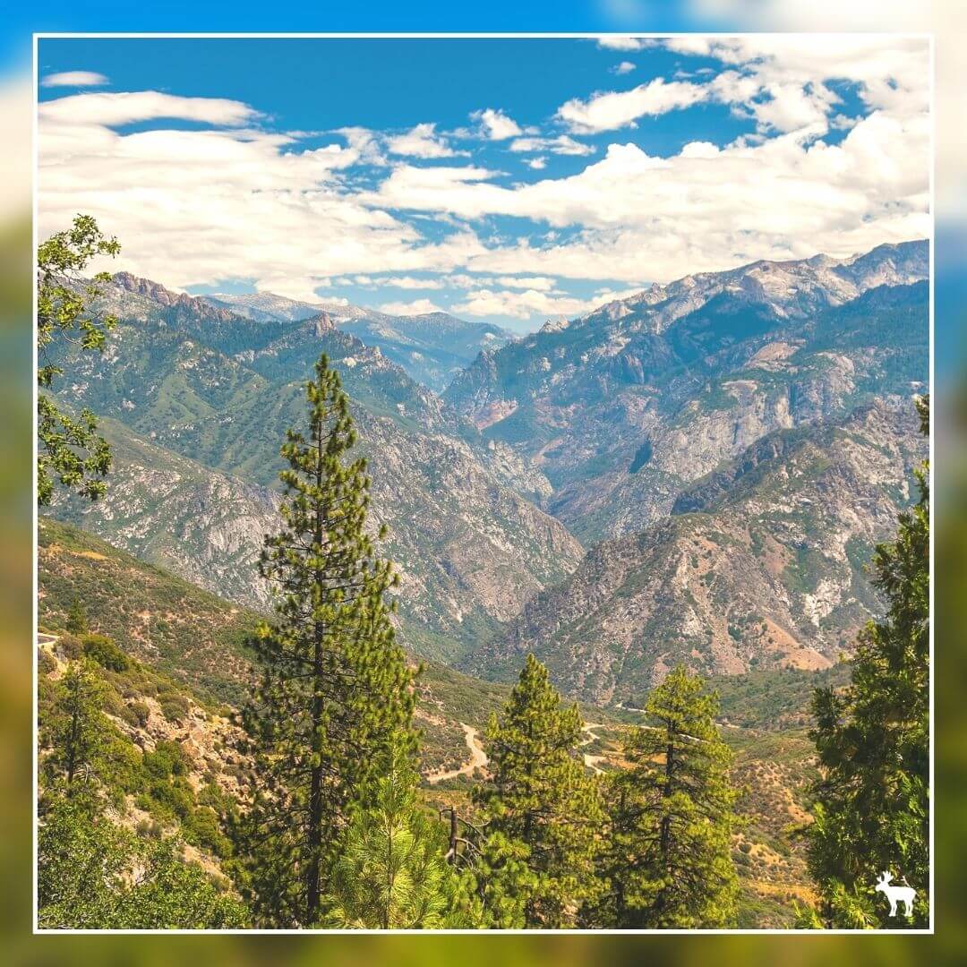
Traveling from Kings Canyon & Sequoia National Parks to Yosemite National Park is a journey that takes you through some of the most stunning natural landscapes in the Sierra Nevada. The drive showcases the diversity of California's geography, from deep canyons and giant sequoias to rugged mountain vistas.
Can you see the highlights of Kings Canyon & Sequoia National Parks in a single day?
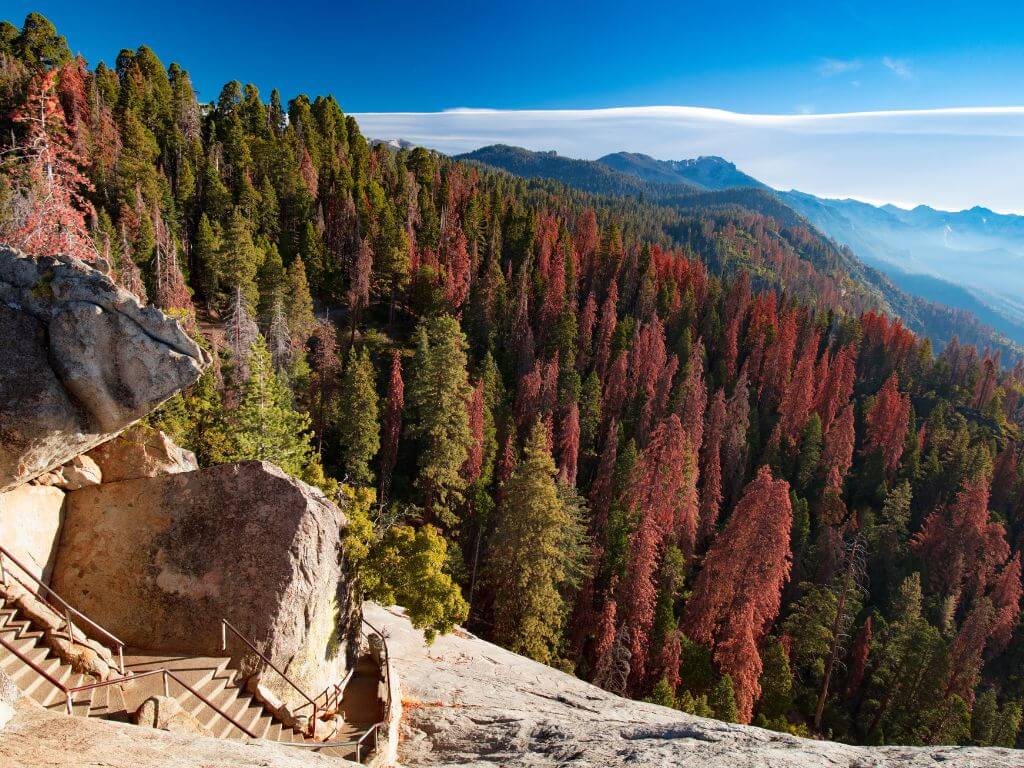
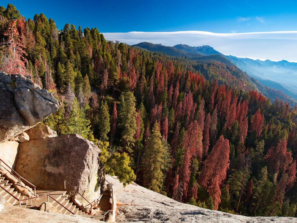
You can visit key highlights of Kings Canyon & Sequoia National Parks in a single day with careful planning. Start with the General Sherman Tree, then climb Moro Rock for panoramic views.
Visit the Tunnel Log for a unique photo opportunity, and drive the Kings Canyon Scenic Byway for breathtaking canyon vistas.If time permits, end with a visit to Grants Grove to see the General Grant Tree.
The Lake Tahoe Route
Traveling from Las Vegas to South Lake Tahoe presents a scenic journey that spans several landscapes, from arid deserts to the alpine beauty of the Sierra Nevada.
Can you see the highlights of Lake Tahoe in a single day?
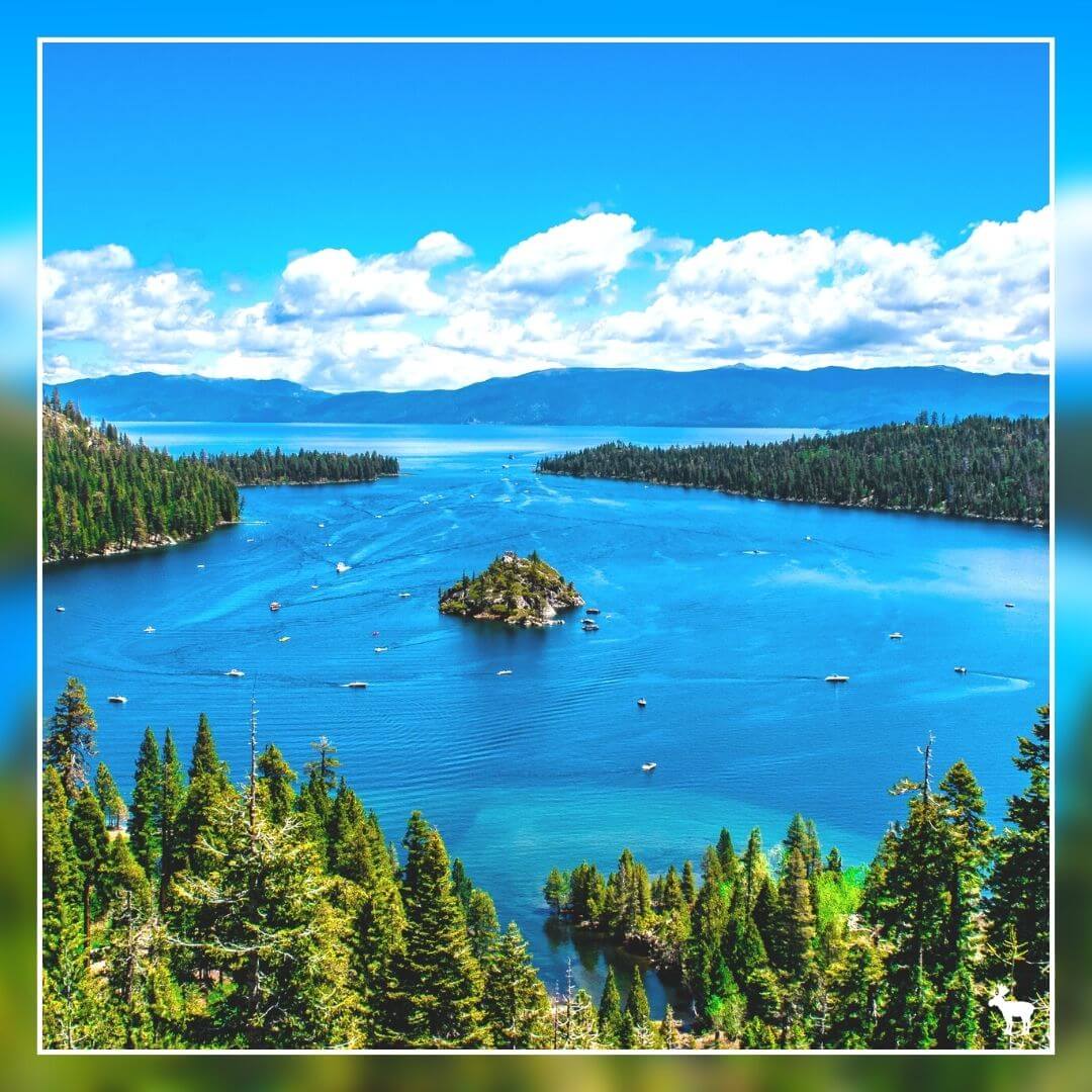
You can experience the highlights of Lake Tahoe in a single day with careful planning and an early start. Begin with a sunrise view at Emerald Bay State Park, then drive around the lake to appreciate its vast beauty, stopping at key spots like Sand Harbor. Incorporate a hike, such as to Eagle Falls or Vikingsholm, and enjoy water activities like swimming or kayaking, depending on the season.
How far is Yosemite National Park from Las Vegas?
Of course, if you want to take the most direct route, you can do so while making a few stops along the way to break up the journey. Traveling from Las Vegas to Yosemite National Park varies in distance and travel time, depending on the route taken and the time of year.
The park can be accessed through several entrances, with three main ones open year-round: CA 41 from Oakhurst, CA 140 from Mariposa, and CA 120 West from Groveland. Here's a closer look at the routes and travel times from Las Vegas to Yosemite National Park:
The park can be accessed through several entrances, with three main ones open year-round: CA 41 from Oakhurst, CA 140 from Mariposa, and CA 120 West from Groveland. Here's a closer look at the routes and travel times from Las Vegas to Yosemite National Park:
June through October (Conditions Permitting)
• Distance: 400 miles / 642 km
• Travel Time: Approximately 8 hours
• Route: Take US-95 North to Tonopah, then west on US-95/US-6 to Highway 120. Continue west on Highway 120 directly into Yosemite National Park. This route is typically open from late May or early June through October, depending on weather conditions
November through May
• Distance: 495 miles / 797 km
• Travel Time: Approximately 8-10 hours
• Route: Take I-15 south to Barstow, then Highway 58 west to Bakersfield, and north on Highway 99 to Fresno. In Fresno, take Highway 41 north directly into Yosemite National Park.
• Distance: 495 miles / 797 km
• Travel Time: Approximately 8-10 hours
• Route: Take I-15 south to Barstow, then Highway 58 west to Bakersfield, and north on Highway 99 to Fresno. In Fresno, take Highway 41 north directly into Yosemite National Park.
Alternative Routes
Las Vegas via Tioga Road and Highway 95
• Distance: 399 miles / 642 km
• Travel Time: Approximately 8 hours
Las Vegas via Bakersfield and Highway 15
• Distance: 475 miles / 764 km
• Travel Time: Approximately 8 hours 30 minutes
Las Vegas via Tioga Road and Highway 95
• Distance: 399 miles / 642 km
• Travel Time: Approximately 8 hours
Las Vegas via Bakersfield and Highway 15
• Distance: 475 miles / 764 km
• Travel Time: Approximately 8 hours 30 minutes
If you're renting a car for a trip to Yosemite National Park and starting from Las Vegas, it's a good idea to pick-up your rental car the evening before. This way, you can start your first full day early.
If you're planning an overnight stay in Las Vegas the night before your road trip to Yosemite National Park, there are plenty of hotel options. A personal recommendation is The LINQ Hotel, on the Vegas strip which I've found to be an affordable and conveniently located choice, especially for family travelers.
When it comes to picking up your rental car, many hotels in Las Vegas offer this service. However, you'll find a larger selection at the Las Vegas Airport. Remember, the airport has a separate Rental Car Center away from the main terminal. So, if you're getting a ride share or taxi from your hotel, be sure to specify that you're going to the Rental Car Center, not just the airport terminal.
The Death Valley Route
The largest national park outside Alaska, Death Valley is an almost unfathomable place. The park’s 3.3 million acres encompass mountain-size sand dunes, below-sea-level salt flats, mysterious singing rocks and colourful sandstone canyons.
Extremes are the norm: Death Valley is the hottest and driest place in America, with summer temperatures peaking above 49°C, and average rainfall of 2 inches per year. Also extreme are the park’s elevations: Badwater Basin, the park’s lowest spot, rests at 282 feet below sea level while Telescope Peak soars to 11,049 feet.
So go high, or go very, very low; get hot, or chill out with amazing desert views. Death Valley delivers on every end of the scale.
Explore the following destinations to enjoy the sights while spending minimal time in the heat!
1 to 2 Hours
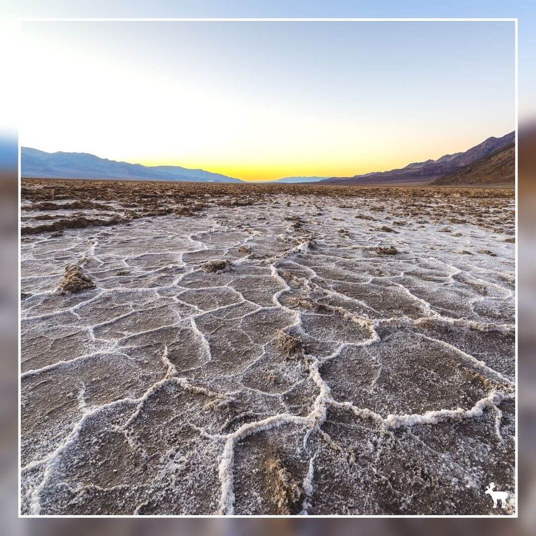
Badwater Basin
This is the deepest point in North America, descending to 282 feet (86 meters) below sea level, where you're greeted with the extraordinary sight of sprawling salt flats.
You can catch a glimpse of these salt flats without leaving your vehicle. However, a short jaunt on a boardwalk will bring you directly onto the flats for an up-close experience.
To reach this location from Furnace Creek, travel 17 miles (approximately 27 kilometers) south on Badwater Road, which takes about 30 minutes.
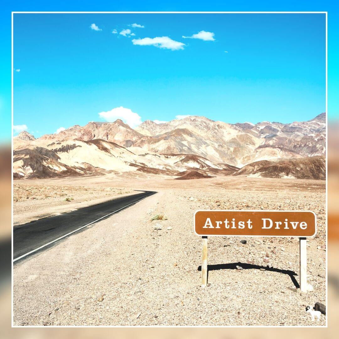
Artists Drive
Embark on a picturesque journey through hills painted in a spectrum of colors. This one-way scenic loop stretches for 9 miles (14.5 km), with restrictions against vehicles over 25 feet in length.
Admire the landscape from the comfort of your car. For a closer look at the Artist's Palette, you'll need to step out of your vehicle.
Starting from Furnace Creek, the entrance to this one-way route is located 8.5 miles (13.7 km) south along Badwater Road, a drive that takes approximately 15 minutes.
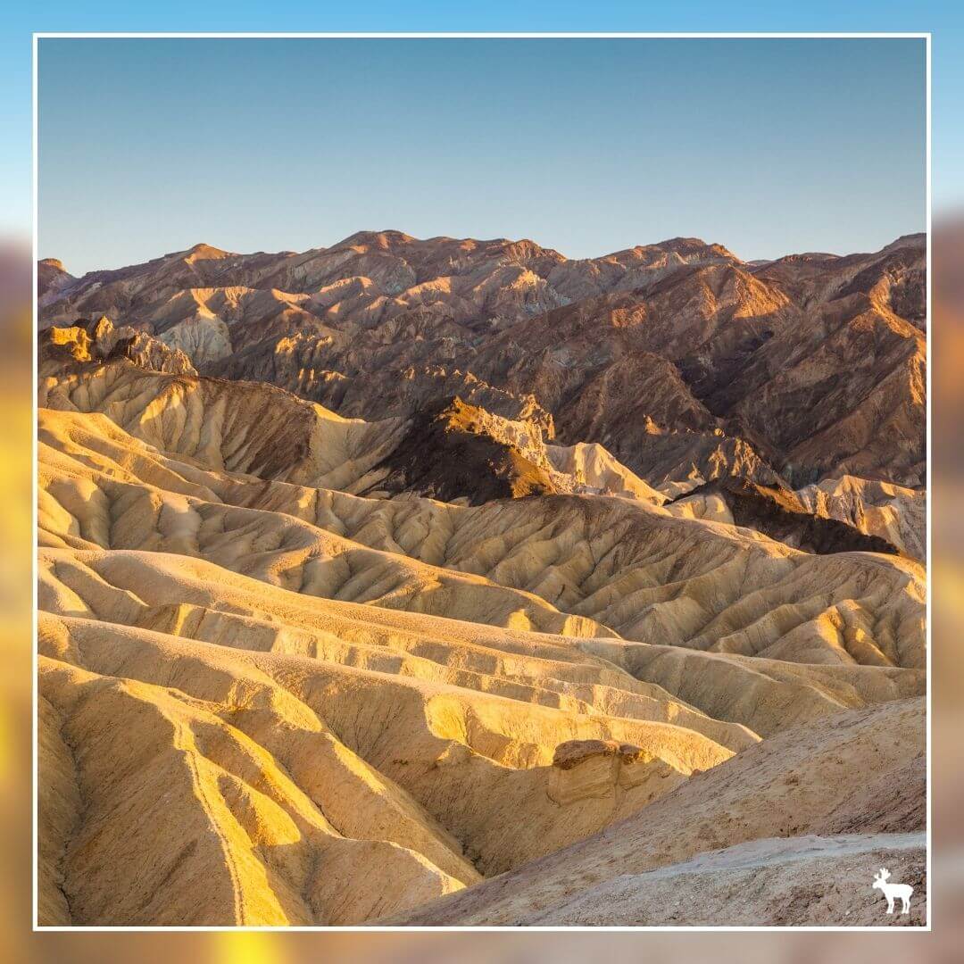
Zabriskie Point
Experience the glow of golden badlands, an ideal location for watching the sunrise.
It's a short walk of 1/4 mile (400 meters) with an elevation gain of 60 feet (18 meters) on a paved path to the viewpoint from the parking lot.
To get there from Furnace Creek, head 4.8 miles (7.7 km) east on Highway 190, a journey that takes about 15 minutes.
Additional Time? Explore These Unique Locations — Just remember to sidestep the midday heat!
Mesquite Flat Sand Dunes
Discover the mesmerizing gold dunes that ascend almost 100 feet (30 meters) from Mesquite Flat.
Enjoy the view from the comfort of your vehicle, but be wary of the sand's temperature around noon—it can get hot enough to damage sandals!
Journey from Furnace Creek by driving 22.4 miles (36 km) west on Highway 190, which takes about 30 minutes.
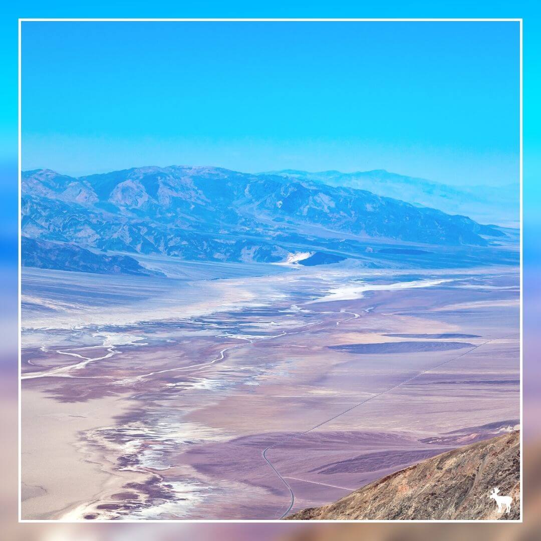
Dante's View
Marvel at the stunning view from over 5,000 feet (1,500 meters) above Death Valley's floor. Vehicles over 25 feet in length are not permitted.
No need to walk. There's an ADA accessible viewing platform available, offering slightly cooler temperatures due to its higher elevation.
To reach it from Furnace Creek, drive 12 miles (19 km) east on Highway 190, then continue for 13.2 miles (21 km) on Dante's View Road. The total travel time is about 1 hour.
Harmony Borax Works
Explore where borax, once the area's most lucrative ore, was processed. Visit the ruins of the processing facility and see a historic 20-mule team wagon.
The site features a 0.4 mile (650 meters) walk with a 35-foot (11 meters) elevation gain on a paved path.
Located just 1 mile (1.6 km) west of Furnace Creek on Highway 190, it's a quick 3-minute drive.
Half-Day Adventures — Incorporate these extended excursions to explore diverse areas of the park!
Ubehebe Crater
About 2,000 years ago, an explosive encounter between rising magma and groundwater created a 600-foot (183-meter) deep crater.
No need to hike. You can view the crater from a paved sidewalk next to the parking area.
To get there from Furnace Creek, go 17.1 miles (27.5 km) west on Highway 190, then 33.4 miles (53.8 km) on North Highway to Ubehebe Crater Road. The journey takes about 1 hour.
Charcoal Kilns
Discover ten dome-shaped kilns, some of the best-preserved in the West, constructed in 1876 to produce charcoal for silver and lead ore processing. Vehicles over 25 feet in length are not allowed, but you can view the kilns from your car.
To visit from Furnace Creek, drive 33.6 miles (54 km) west on Highway 190, then 28.2 miles (45.4 km) on Emigrant Canyon Road. The last 2 miles (3 km) are on a gravel road. The trip takes about 1.5 hours.
Father Crowley Vista Point
Gaze upon Rainbow Canyon's vibrant, layered terrain, sculpted by ancient lava flows and volcanic cinders.
No need to trek. Enjoy the view from a paved sidewalk next to the parking area.
To get there from Furnace Creek, head 62.8 miles (101 km) west on Highway 190. The journey takes about 1.5 hours.
Best places to stay near Death Valley
Ranch at Death Valley
|
Inn at Death Valley
|
How far is it from Las Vegas to Yosemite by Death Valley?
How far is Las Vegas to Death Valley
There are several routes from Las Vegas to Death Valley National Park, each varying in distance and travel time. Here are the main options:
There are several routes from Las Vegas to Death Valley National Park, each varying in distance and travel time. Here are the main options:
Shortest Route
• Distance: 120 miles
• Travel Time: Approximately 2 hours
Directions:
• From Interstate 15 South, exit on NV Hwy 160 West.
• Drive 60 miles to Pahrump, Nevada. Turn left on Bell Vista Road (3 miles north of Hwy 372).
• Drive 30 miles to Death Valley Junction, California. Turn right on CA Hwy 127.
• Drive about 300 feet, then turn left on CA Hwy 190.
• Drive 30 miles to Furnace Creek Visitor Center.
Easiest Route
• Distance: 145 miles
• Travel Time: Approximately 2.5 hours
Directions:
• From Interstate 15, exit on Hwy 95 North.
• Drive 90 miles to Lathrop Wells, Nevada. Turn left on NV Hwy 373 (becomes CA Hwy 127).
• Drive 25 miles to Death Valley Junction, California. Turn right on CA Hwy 190.
• Drive 30 miles to Furnace Creek Visitor Center.
Ghost Town Route
• Distance: 160 miles
• Travel Time: Approximately 3 hours
Directions:
• From Interstate 15, exit on Hwy 95 North.
• Drive 120 miles to Beatty, Nevada. Turn left on NV Hwy 374.
• Drive 19 miles to Hells Gate. Turn left on Beatty Cutoff Road.
• Drive 10 miles, then turn left on CA Hwy 190.
• Drive 11 miles to Furnace Creek Visitor Center.
Most Scenic Route
• Distance: 172 miles
• Travel Time: Approximately 3.5 hours
Directions:
• From Interstate 15 South, exit on NV Hwy 160 West.
• Drive 45 miles. Turn left on Tecopa Road (Old Spanish Trail).
• Drive 41 miles. Turn right on CA Hwy 127.
• Drive 10 miles. Turn left on CA Hwy 178 West (Badwater Road).
• Drive 75 miles. Turn left on CA Hwy 190.
• Drive one mile to Furnace Creek Visitor Center.
How far is Death Valley to Yosemite National Park
Traveling from Death Valley to Yosemite National Park involves a significant change in landscape, from the lowest, hottest, and driest point in North America to the majestic granite cliffs, waterfalls, and giant sequoias of Yosemite.
The distance and travel time can vary greatly depending on the route chosen and the time of year, due to seasonal road closures, particularly the closure of Tioga Pass (Highway 120) during winter. Here are the primary routes and their details:
June through October (Conditions Permitting)
• Distance: 270 miles / 435 km
• Travel Time: Approximately 5 hours
• Route: Take Highway 190 west to US 395. Continue north on US 395 to Lee Vining; then take Highway 120 east into Yosemite National Park. This route is typically accessible from late May or early June through October, depending on weather conditions.
November through May
• Distance: 450 miles / 720 km
• Travel Time: Approximately 9 hours
• Route: Take Highway 190 west to US 395, then south on US 395 to its junction with Highway 14. Continue on Highway 14 south to Mojave, then take Highway 58 to Bakersfield. From Bakersfield, head north on Highway 99 to Fresno, and in Fresno, take Highway 41 north into Yosemite National Park.
The travel times and routes between Death Valley and Yosemite National Park highlight the dramatic differences in geography and climate between these two iconic landscapes. Travelers must plan their trips carefully, taking into consideration the seasonal availability of routes, especially the eastern entrance (Tioga pass entrance) to Yosemite via Tioga Pass (Highway 120), which offers a more direct but seasonal alternative during the warmer months.
How to drive through Death Valley
Driving through Death Valley National Park is an unforgettable journey, showcasing some of the most unique and starkly beautiful landscapes in the United States. Whether you're passing through or making the park a primary destination, knowing the best routes and preparation is key to a safe and enjoyable experience. Here's how to drive through Death Valley, considering two popular routes:
Route 1: Death Valley Junction to Saline Valley Alternate Road
• Distance: 100 miles
• Crossing Time: Approximately 1 hour and 50 minutes
• Entrance: Death Valley Junction
• Exit: Saline Valley Alternate Road
Directions and Highlights:
• Start at Death Valley Junction: This historic junction serves as a gateway to Death Valley from the east. Before entering the park, ensure your vehicle is in good condition, and you have plenty of water and supplies.
• The route will take you through some of the park's iconic landscapes. Be prepared for vast, open spaces with minimal services.
• Exit via Saline Valley Alternate Road: This exit takes you out of the park's western side, leading toward more remote areas. The Saline Valley Road is less traveled and can be more rugged, so ensure your vehicle is capable of handling potentially rough conditions.
Route 2: Ridgecrest to Panamint Valley Road
• Distance: 65 miles
• Crossing Time: Approximately 1 hour and 15 minutes
• Entrance: Ridgecrest
• Exit: Panamint Valley Road
Directions and Highlights:
• Start in Ridgecrest: Located to the west of Death Valley, Ridgecrest offers a convenient starting point for entering the park from the southwest.
• Enter Death Valley via Panamint Valley: This route offers stunning views of the Panamint Range and allows you to experience the dramatic west side of the park.
• Exit through Panamint Valley Road: This exit strategy leads you through the Panamint Valley, an area known for its scenic vistas and challenging terrain.
Driving Tips
• Prepare Your Vehicle: Ensure your car is in good working order, with a full tank of gas, since services are scarce within the park.
• Carry Plenty of Water: Bring more water than you think you'll need, at least one gallon (3.78 liters) per person per day.
• Stay Informed of Conditions: Check road conditions and weather forecasts before and during your trip. Seasonal closures and extreme temperatures can affect travel plans.
• Respect the Environment: Stay on designated roads and follow all park rules to protect this unique ecosystem.
• Plan for Limited Services: There are few services available in Death Valley. Plan your route to ensure you have enough supplies, especially fuel, food, and water.
• Be Ready for Emergencies: Carry a basic first aid kit, a spare tire, and emergency supplies. Cell service can be spotty, so don't rely solely on a phone for navigation or emergencies.
The Kings Canyon & Sequoia National Parks Route
Traveling from Las Vegas to Yosemite National Park through Kings Canyon & Sequoia National Parks offers a journey filled with majestic landscapes, towering trees, and breathtaking canyons. Here's a breakdown of the route highlights:
Las Vegas to Sequoia National Park
Mojave Desert: Starting from Las Vegas, you'll cross the stark, beautiful Mojave Desert. This vast desert landscape offers unique flora, including Joshua trees, and fascinating geology.
Tehachapi Pass: As you approach the Sierra Nevada, you'll pass through Tehachapi Pass, offering scenic views and a transition from desert to mountain landscapes.
Sequoia to Yosemite National Park
Sierra Nevada Mountain Range: The drive takes you through the heart of the Sierra Nevada, with its alpine scenery, before entering Yosemite from its southern entrance near Wawona.
Tioga Pass (Seasonal): If your travel is during the warmer months, the Tioga Pass offers a breathtaking high-elevation route through Yosemite's backcountry, featuring alpine lakes, meadows, and granite vistas. Note that Tioga Pass is closed during winter months due to snow.
How far is it from Las Vegas to Yosemite by Kings Canyon & Sequoia National Parks?
How far is Las Vegas to Kings Canyon & Sequoia National Parks
Traveling from Las Vegas to the small town gateway communities of Sequoia and Kings Canyon National Parks offers a journey through diverse landscapes, from desert basins to mountainous terrain, culminating in the majestic presence of some of the world's largest trees. Here's a look at the travel details for these destinations:
Traveling from Las Vegas to the small town gateway communities of Sequoia and Kings Canyon National Parks offers a journey through diverse landscapes, from desert basins to mountainous terrain, culminating in the majestic presence of some of the world's largest trees. Here's a look at the travel details for these destinations:
Las Vegas to Sequoia National Park - Gateway Communities
Sequoia National Park is accessible through several gateway communities, each offering unique attractions and accommodations. These communities include Three Rivers, Exeter, Tulare, Porterville, Visalia, and Dinuba, California. The closest and most direct route to the park from Las Vegas is to Three Rivers.
Las Vegas to Three Rivers, California
• Distance: 375 miles
• Travel Time: Approximately 5 hours and 57 minutes
• Route: Via I-15 S and CA-58 W
This route takes you from the vibrant city of Las Vegas, through the Mojave Desert, and into the fertile valleys of California, finally ascending into the Sierra Nevada mountains where Sequoia National Park is located.
Traveling from Las Vegas to Sequoia and Kings Canyon National Parks, whether directly to the gateway communities or via Death Valley, provides a road trip experience filled with natural beauty, diverse landscapes, and the awe-inspiring presence of some of the oldest and largest living trees on Earth.
Sequoia National Park Tour
★★★★★
How far is Kings Canyon & Sequoia National Parks to Yosemite National Park
Here are the different routes for traveling from Sequoia National Park and its gateway communities to Yosemite National Park:
From Lodgepole/Giant Forest in Sequoia National Park
Via Highways 41 & 180
• Travel Time: Approximately 4 hours
• Distance: 175 miles / 282 km
Via Visalia
• Travel Time: Approximately 4 hours
• Distance: 185 miles / 298 km
Route Highlights:
Both routes begin in the heart of Sequoia National Park, near the Lodgepole and Giant Forest areas, known for their breathtaking giant sequoias. The journey involves exiting the park and navigating through the Sierra Nevada's foothills and into the Central Valley before ascending into Yosemite National Park.
• Highways 41 & 180 Route: This scenic route takes you north through the foothills of the Sierra Nevada, connecting with CA-41 in Fresno, which leads directly into Yosemite National Park via the south entrance.
• Via Visalia Route: Heading towards Visalia offers an alternative path through the agricultural heartland of the Central Valley before rejoining the route towards Yosemite National Park.
From Sequoia National Park - Gateway Communities
The gateway communities around Sequoia National Park, including Three Rivers, Exeter, Tulare, Porterville, Visalia, and Dinuba, serve as starting points for visitors coming from the western side of the Sierra Nevada. Traveling from these communities to Yosemite involves similar routes, with minor variations depending on the specific starting location.
Route to Yosemite:
• Exit the Sequoia National Park area or depart from one of the gateway communities.
• Travel through the Central Valley: This segment of the journey takes you through the agricultural heart of California. The Central Valley is known for its vast farms and orchards, providing a stark contrast to the mountainous terrain of the national parks.
• Ascend into the Sierra Nevada: As you approach Yosemite National Park, the route takes you back into the mountains, offering stunning landscapes and the opportunity to experience the diverse ecosystems of the Sierra Nevada.
Travel Tips
• Check Road Conditions: Especially important for winter travel, as snow and ice can lead to road closures in the Sierra Nevada, affecting routes into Yosemite.
• Plan for a Full Day of Travel: While the driving time may be approximately 4 hours, accounting for stops, scenic views, and potential traffic, it's wise to allocate a full day for the journey.
• Explore Gateway Communities: These communities offer unique attractions, accommodations, and dining options. They can be a great addition to your trip itinerary, providing insight into local culture and history.
• Yosemite National Park Entrance: Be prepared for entrance fees and possible delays during peak travel seasons. It's also a good idea to check for any park-specific advisories or requirements.
Combining Death Valley, Kings Canyon & Sequoia National Park
For those seeking an extended adventure that includes Death Valley, the travel from Saline Valley Alternate Road (exit Death Valley) to Three Rivers, near the entrance to Sequoia and Kings Canyon National Parks, presents a unique opportunity.
From Saline Valley Alternate Road to Three Rivers, California (near Kings Canyon)
• Distance: 290 miles
• Travel Time: Approximately 4 hours and 41 minutes
• Route: Via US-395 S
This route offers a more direct journey to the parks after exploring Death Valley. It winds through the eastern Sierra along US-395 S, showcasing the dramatic landscapes of California's high desert and the rugged peaks of the Sierra Nevada before descending into the agricultural heartlands and up into the foothills of the Sierra, where the grandeur of Sequoia and Kings Canyon National Parks awaits.
Places to stay near Kings Canyon & Sequoia National Parks
Best Western Exeter Inn & Suites
|
Comfort Inn & Suites Sequoia/Kings Canyon
|
The Lake Tahoe Route
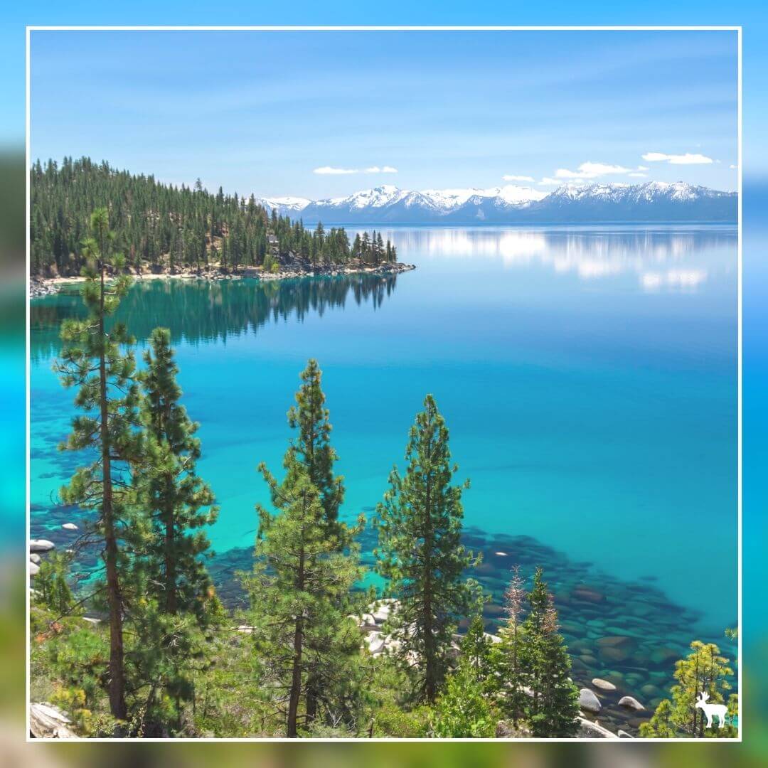
Stopping at Lake Tahoe on your journey from Las Vegas to Yosemite National Park offers a unique opportunity to experience one of the most picturesque alpine lakes in the United States. Lake Tahoe is a great spot to enjoy beautiful views and fun outdoor activities, all in one place.
Traveling from Lake Tahoe to Yosemite National Park is an adventure that takes you through some of the most breathtaking landscapes in the Sierra Nevada. Depending on the route you choose, you can experience a variety of scenic vistas, from mountain passes and forests to historic towns and picturesque valleys.
Traveling from Lake Tahoe to Yosemite National Park is an adventure that takes you through some of the most breathtaking landscapes in the Sierra Nevada. Depending on the route you choose, you can experience a variety of scenic vistas, from mountain passes and forests to historic towns and picturesque valleys.
What are the best things to do at Lake Tahoe?
Whether you're visiting in summer or winter, Lake Tahoe offers a plethora of outdoor activities. Summer visitors can enjoy hiking, mountain biking, kayaking, paddleboarding, and boating. In winter, the area transforms into a winter sports paradise, offering some of the best skiing, snowboarding, and snowshoeing in the Sierra Nevada.
The lake's shores are dotted with beautiful beaches and state parks, such as Sand Harbor, Emerald Bay, and D.L. Bliss State Park, offering opportunities for relaxation and nature walks.
The lake's shores are dotted with beautiful beaches and state parks, such as Sand Harbor, Emerald Bay, and D.L. Bliss State Park, offering opportunities for relaxation and nature walks.
How far is it from Las Vegas to Yosemite by Lake Tahoe?
How far is Las Vegas to Lake Tahoe?
Distance and Travel Time
• Distance: 446 miles
• Travel Time: Approximately 7 hours and 16 minutes
• Primary Route: Via US-95 North
Travel Route Overview
The most direct route from Las Vegas to South Lake Tahoe involves traveling north on US-95, passing through a variety of landscapes including the vast, open desert and the more vegetated and mountainous regions as you approach Lake Tahoe. This route offers a glimpse into the diverse geography of the western United States, transitioning from the Mojave Desert to the Sierra Nevada mountains.
Directions Summary
• Travel North on US-95: Head north on US-95, which will take you through Nevada's changing landscapes, from the desert areas around Las Vegas to the more mountainous terrain as you approach central Nevada.
• Approaching Lake Tahoe: As you near Lake Tahoe, the environment will begin to change dramatically, with increased vegetation and the towering peaks of the Sierra Nevada coming into view. The final stretch of the journey involves navigating mountain roads that offer stunning vistas and lead you into the Lake Tahoe Basin.
How far is Lake Tahoe to Yosemite National Park?
Lake Tahoe via Highways 120 and 49
• Travel Time: Approximately 5 hours and 15 minutes
• Distance: 200 miles / 322 km
Route Highlights:
This route takes you through the heart of the Sierra Nevada, offering a mix of natural beauty and historic charm. Highway 49, known as the Gold Country Highway, passes through quaint towns that were pivotal during the California Gold Rush. Highway 120, the northern gateway to Yosemite, provides stunning views as it winds its way into the park.
Lake Tahoe via Highway 140 and Sacramento
• Travel Time: Approximately 5 hours and 45 minutes
• Distance: 265 miles / 426 km
Route Highlights:
Traveling through Sacramento adds some miles but offers the opportunity to explore California's capital city and its rich history. Highway 140 leads into Yosemite National Park through the Arch Rock Entrance, offering a scenic drive along the Merced River, with picturesque views leading up to Yosemite Valley.
Lake Tahoe via Tioga Road
• Travel Time: Approximately 4 hours and 30 minutes
• Distance: 198 miles / 319 km
Route Highlights:
This is the most direct and scenic route during the summer months when Tioga Road (Highway 120 East) is open. Tioga Road passes through the high country of Yosemite, including Tuolumne Meadows, offering breathtaking views of the Sierra Nevada, alpine lakes, and meadows. It's the fastest route but is seasonal, typically open from late spring to early fall, depending on snow conditions.
Travel Tips
• Check Seasonal Road Conditions: Before planning your trip, especially if you intend to take Tioga Road, check the current road conditions and opening times, as this route is closed in the winter due to snow.
• Plan for Stops: Each route offers unique landmarks and scenic spots worth exploring. Plan for additional time to enjoy these attractions.
• Prepare for the Drive: Ensure your vehicle is in good condition, and you're prepared for mountain driving, which can include steep grades and sharp curves.
• Enjoy the Natural Beauty: Regardless of the route, you'll be traveling through some of the most stunning landscapes in California. Take your time to enjoy the journey as much as the destination.
Traveling from Lake Tahoe to Yosemite National Park, no matter which route you choose, promises a journey filled with natural wonders and scenic beauty, making it a memorable road trip in the Sierra Nevada region.
Places to stay near Lake Tahoe
Black Bear Lodge
|
Basecamp
|
Lake Tahoe Tours
Explore the beauty of Lake Tahoe with our tours, perfect for experiencing all the fun and scenic views this place has to offer.
Next stop: Yosemite National Park
Tours to Experience Yosemite National Park
Discover the breathtaking beauty and unparalleled adventure of Yosemite National Park with our curated selection of tours and tickets, designed to provide unforgettable experiences in one of nature's most majestic settings.
Where to stay near Yosemite National Park
We stayed at Rush Creek Lodge, which I can easily say is one of the best places I've ever stayed in. This choice wasn't by chance. I had researched hotels quite extensively before booking, and Rush Creek stood head and shoulders above the rest. I wasn't disappointed upon arrival. The hotel had such a lovely ambiance, seeming to fit seamlessly with the surroundings. The free shuttle bus to Yosemite also stopped outside the hotel.
We had a beautiful but simple apartment with a balcony that comfortably accommodated the four of us. The pool area, outdoor fireplace, fire pits, and children's play area were all kept in immaculate condition, making it an absolute pleasure to spend time here. We also had a downtime day when we didn't do any sightseeing, and Rush Creek was the perfect place to relax and unwind. I'll always remember my stay at Rush Creek with fond memories and look forward to returning one day in the future.
We had a beautiful but simple apartment with a balcony that comfortably accommodated the four of us. The pool area, outdoor fireplace, fire pits, and children's play area were all kept in immaculate condition, making it an absolute pleasure to spend time here. We also had a downtime day when we didn't do any sightseeing, and Rush Creek was the perfect place to relax and unwind. I'll always remember my stay at Rush Creek with fond memories and look forward to returning one day in the future.
More places to stay near Yosemite National Park
Sierra Sky Ranch, Ascend Hotel Collection
|
Best Western Plus Yosemite Gateway Inn
|
My two-day Yosemite National Park itinerary
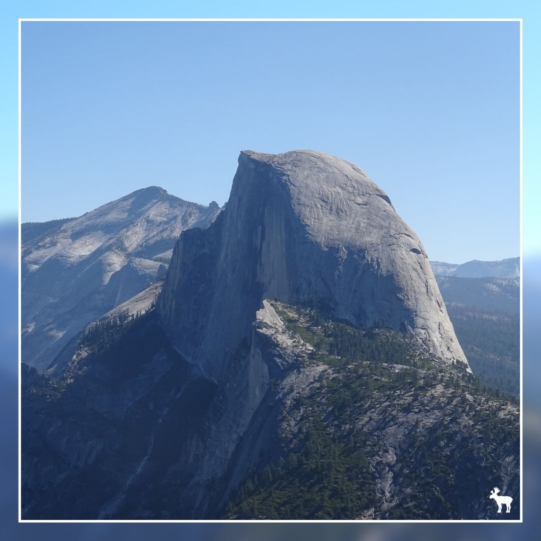
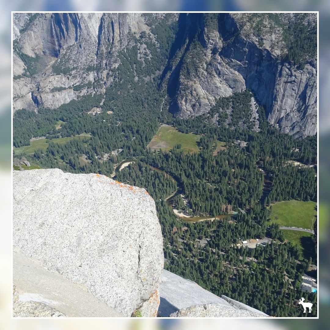
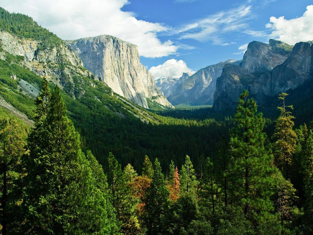
On our first full day in Yosemite National Park, we made an early start and took a guided excursion to Glacier Point in the morning. It was an incredible way to kick off the day, as we were treated to amazing views of Half Dome and the Yosemite Valley. You can do the excursions as a round trip stopping at Tunnel View to take photos, or there's the option to take the bus journey one way and hike back down to Yosemite Valley.
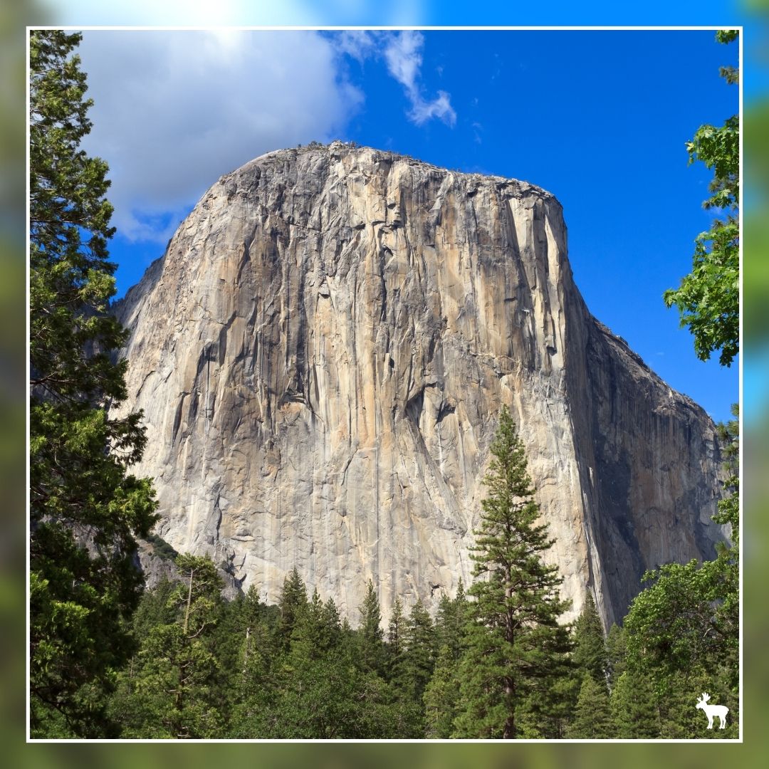
In the afternoon, we dedicated our time to exploring Yosemite Valley, walking along the Merced River, and craning our necks in awe at the sight of El Capitan. We also embarked on some of the shorter hikes leading to the Yosemite falls.
It's astonishing how much you can see and experience in just one day.
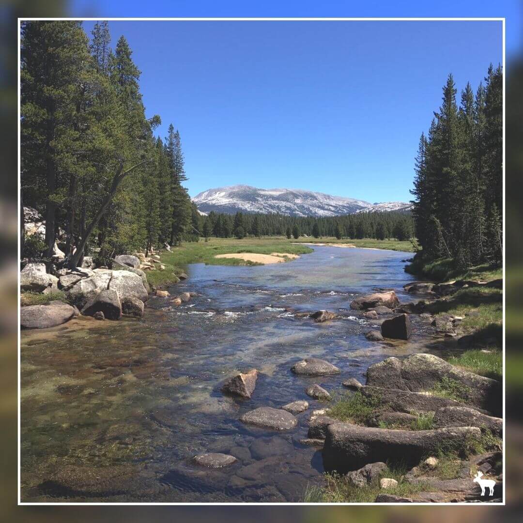
On our second day, we embarked on a journey along Tioga Road towards Tuolumne Meadows, stopping at Giant Sequoia Groves and taking our time to enjoy several leisurely hikes and a picnic lunch.
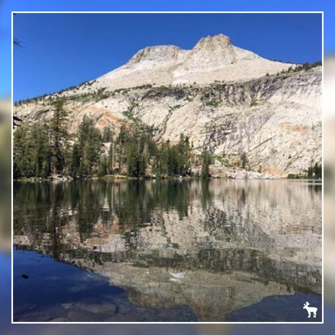
We began our day with a family-friendly short hike at May Lake, which was easy for all of us. Then, we made the short drive to Tenaya Lake, where we enjoyed a picnic lunch with scenic views. After lunch, we continued to Tuolumne Meadows for another hike, adding more nature and adventure to our day. We finished by returning to Rush Creek Lodge.
You could easily spend a week or more exploring Yosemite National Park. In fact, no sooner had we left than I'd already decided I need to come back here one day to do more day hikes and take part in some of the outdoor activities, like paddle boarding, fishing, cycling, and rock climbing.
If you're fortunate enough to have more time to explore Yosemite National Park, you might want to consider one of the guided tours, like the one detailed below. Another great option for a San Francisco and Yosemite National Park road trip would be to extend your journey down towards Los Angeles, taking the scenic route via Big Sur.
Wildlife Spotting Opportunities in Yosemite
Yosemite National Park is celebrated not only for its stunning landscapes but also for its diverse wildlife. Even if you're only visiting for a day, there's a good chance you'll encounter some of the park's resident creatures.
The park is home to a variety of animals, including black bears, deer, coyotes, squirrels, and numerous bird species. The wildlife is part of what makes Yosemite such a special place, with each animal playing a role in the ecosystem of the park.
The park is home to a variety of animals, including black bears, deer, coyotes, squirrels, and numerous bird species. The wildlife is part of what makes Yosemite such a special place, with each animal playing a role in the ecosystem of the park.
Field Notes & Mooseful Information
Explore our "Field Notes" for more insights on planning your iconic road trip from Las Vegas to Yosemite National Park.
Places to stay near Death Valley
Ranch at Death Valley
|
Inn at Death Valley
|
When is the best time to visit Death Valley?
The best time to visit Death Valley is during the cooler months from late fall to early spring (November to March). During this period, temperatures are more comfortable for exploring the park's landscapes, which can be extreme in the summer with temperatures often exceeding 120°F (49°C).
Winter also offers unique photographic opportunities with snow-capped mountain peaks contrasting the desert floor, and allows for pleasant hiking conditions, making it the ideal time for a visit.
Winter also offers unique photographic opportunities with snow-capped mountain peaks contrasting the desert floor, and allows for pleasant hiking conditions, making it the ideal time for a visit.
Sequoia National Park Tour
★★★★★
Places to stay near Kings Canyon & Sequoia National Parks
Best Western Exeter Inn & Suites
|
Comfort Inn & Suites Sequoia/Kings Canyon
|
When is the best time to visit Kings Canyon & Sequoia National Parks
• Spring (March to May): Features warming weather and blooming wildflowers at lower elevations, though higher elevations may still have snow. It's an excellent time for wildflower viewing and lower elevation hikes.
• Summer (June to August): Offers warm, sunny weather, making it ideal for hiking, backpacking, camping, and sightseeing. All areas of the parks are accessible, but expect larger crowds and fully booked accommodations.
• Fall (September to November): Brings cooler temperatures and fewer crowds, with most park areas remaining open until the first significant snowfall. The season is great for hiking and enjoying fall colors.
• Winter (December to February): Is cold, with snow at higher elevations, limiting access to many areas. However, it offers a serene winter wonderland experience, with opportunities for snowshoeing and cross-country skiing.
Places to stay near Lake Tahoe
Basecamp
|
Black Bear Lodge
|
When is the best time to visit Lake Tahoe?
Tahoe is open year round, with the shoulder seasons (April to May, and September to October) bringing pleasant weather with average temperatures in the 60s and fewer tourists.
Summer is the best time of year to lounge on beaches, float on paddleboards, and dip into the waters. Though with air temps in the 80s, and water temps in the 50s, swimming is always going to be a bit chilly – however, it sure beats 100 degree days in the Central Valley!
Winter, of course, brings heavy snowstorms and lots of ski traffic on the weekends. Make sure you are adequately prepared for driving in snow if you visit during this time.
Places to stay near Yosemite National Park
Best Western Plus Yosemite Gateway Inn
|
Sierra Sky Ranch, Ascend Hotel Collection
|
When is the best time to visit Yosemite National Park?
The best times to visit Yosemite National Park vary depending on what you're looking to experience, but understanding the park's peak season and weather conditions can help you plan your visit.
Spring (April to June): This is an ideal time to see the park's famous waterfalls at their fullest due to the melting snow. The weather is pleasant, though it can still be a bit chilly in the mornings and evenings. Crowds are smaller than in summer, but it's beginning to get busier as the season progresses.
Summer (July to August): Summer marks the peak season in Yosemite, with warm weather conditions that are perfect for hiking and exploring. However, this is also when the park is most crowded. The weather is generally sunny and hot, but afternoon thunderstorms can occur.
Fall (September to October): The fall offers a quieter experience with fewer visitors, and the weather remains favorable for outdoor activities. The changing colors of the foliage provide a beautiful backdrop for hikes. While the waterfalls might not be as robust as in the spring, the serene beauty and cooler temperatures make it a great time to explore.
Winter (November to March): Winter in Yosemite is magical, with snow-capped peaks and fewer tourists. It's a fantastic season for those interested in winter sports like skiing and snowshoeing in certain areas of the park. However, some parts of the park, including roads and trails, may be closed due to snow and ice, so it's essential to check conditions ahead of your visit.
Yosemite National Park tours & excursions
Full-Day Small Group Yosemite & Glacier Point Tour
|
Yosemite Highlights Small Group Tour
|
|
Rob is an experienced independent travel consultant and travel content creator.
His love for travel started as a child, playing travel agent with his grandparents using holiday brochures from the local travel agency. Fast forward over 40 years, and Rob has turned this passion into a career, dedicating his time to helping others plan their dream vacations. He says his happy place is in a cozy cabin by a lake in Oregon, sitting at the bar of a honky-tonk on Broadway in Nashville, or closer to home walking and cycling in the Peak District National Park. |

